What kind of round and point-to-point hikes tips are you looking for in Kaiserwinkl?
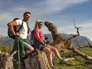
Hiking
From village loops to summit crosses: family walks, themed paths and hiking pass goals. Every start point is reachable by bus.
74
Point to poin hiking
The best route has two ends: hikes that start at one stop and finish at another. The public transport link back is sorted – you just keep walking onwards.
15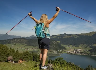
Running / Nordic Walking
Into your running shoes: lakeside loops, gentle climbs and Nordic walking routes in the Kaiserwinkl. Puff first, beam after – and the snack tastes twice as good.
14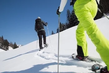
Snowshoe hiking
Plod, don't glide: snowshoes take you to the quietest corners of the Kaiserwinkl – through deeply snow-covered forests and over soft slopes. Strap them on!
5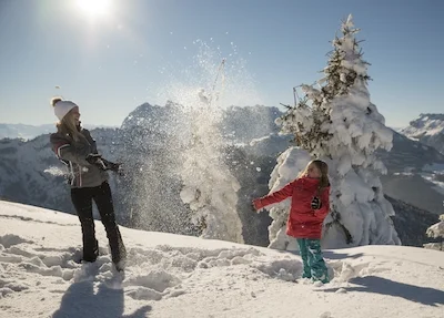
Winter walking
When snow squeaks underfoot: cleared winter paths through the Kaiserwinkl, past moors, meadows and huts. Slow the pace, open the thermos, soak up the view.
23Don't miss these!
Our tips for hikes – handpicked and all easily reachable by bus & train without many transfers.
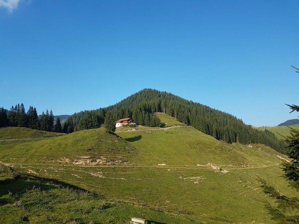
Walchsee - Priener Hütte - Breitenstein - Karkopf - Kössen
Trail. Nr. 54, 47a, 3, 14, 8, 87, 24
Details & route planning →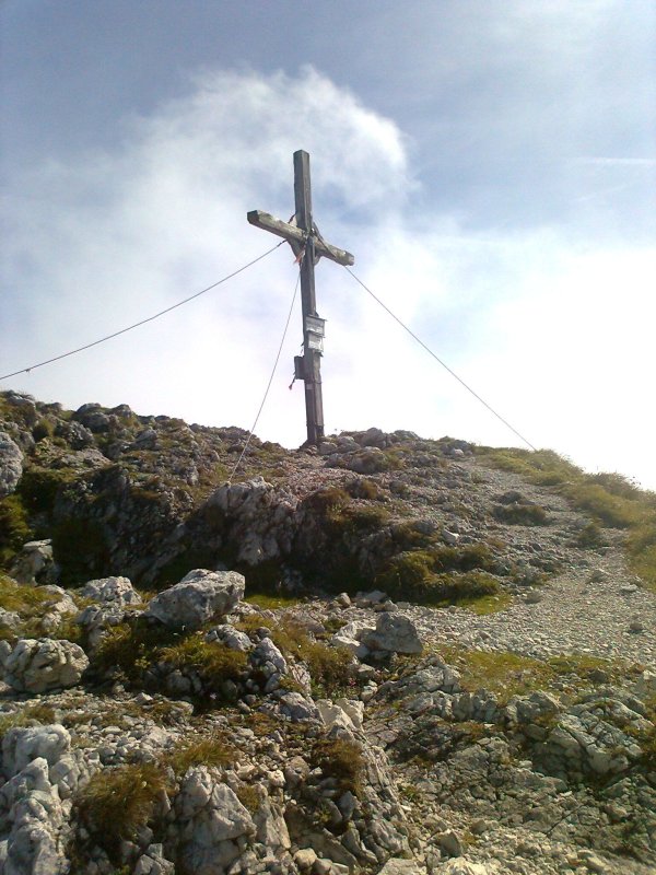
Pyramidenspitze - Vorderkaiserfelden
Trail Nr.: 90, 91, 95, 811,49
Details & route planning →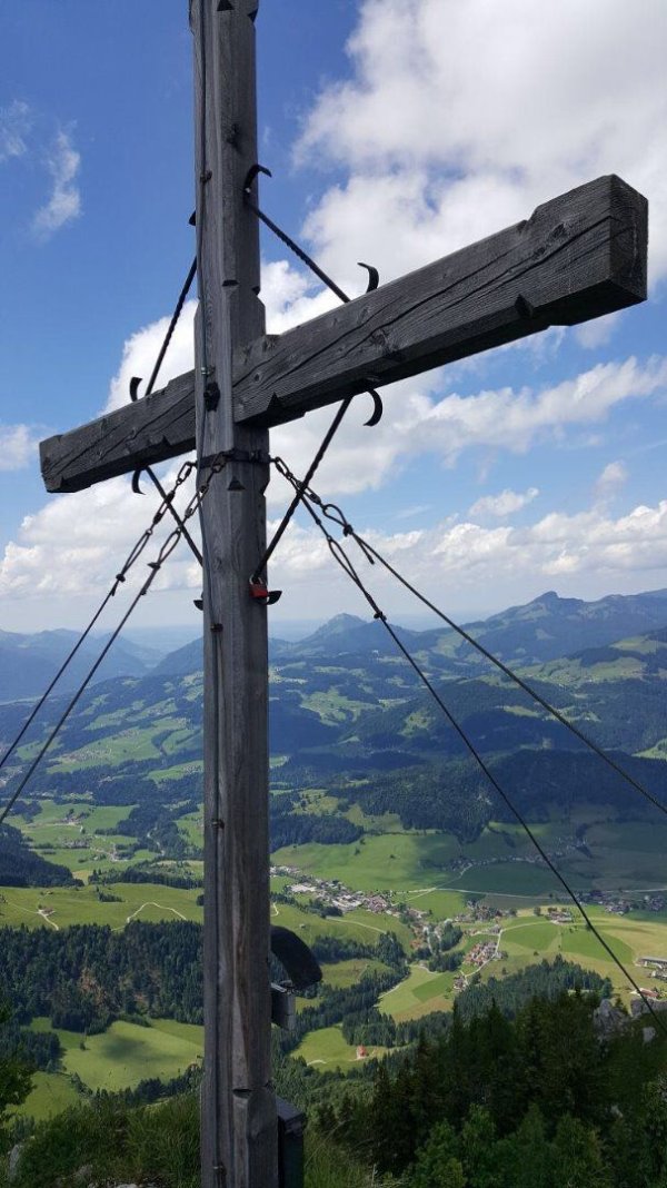
Walchsee - Heuberg
Trail Nr.: 88, 89
Details & route planning →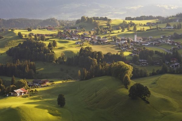
Niederhausertal - Lackalm - Schnappenstein
Trail Nr.: 70
Details & route planning →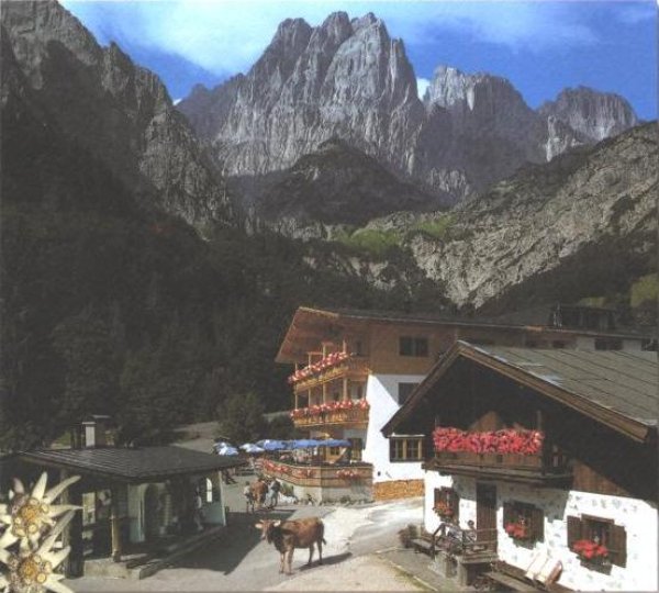
Kaiserbachtal - Griesner Alm
Trail Nr.: 801
Details & route planning →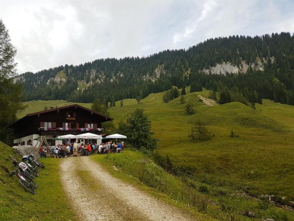
Kohlental - Kohlalm (Summer Hike)
Trail Nr.: 74
Details & route planning →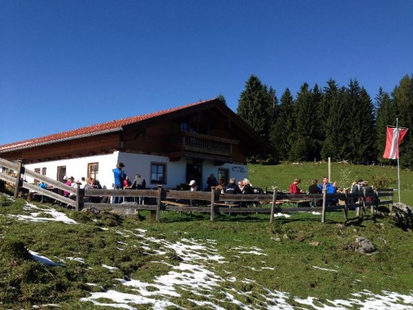
Stripsenjochhaus - Feldalmsattel - Heuberg - Walchsee
Trail. Nr.: 87, 811, 88, 89, 88
Details & route planning →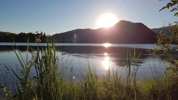
Kössen - Bichlach - Walchsee
Trail Nr. 11
Details & route planning →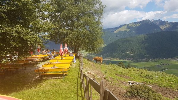
Lippenalm- Ebersberg - Gwirchtalm
Trail Nr.: 52, 88
Details & route planning →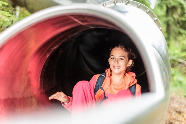
Vicinity: 2nd stage KAT Walk Family
Stage 2: Brixen im Thale - Kirchberg in Tirol
Details & route planning →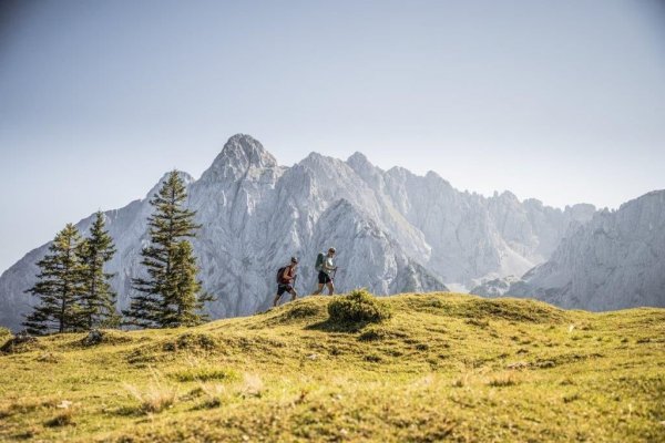
Kaiserbachtal - Feldberg - Stripsenjoch
Fantastic tour with a unique view of the Kaiser Mountains across beautiful alpine meadow
Details & route planning →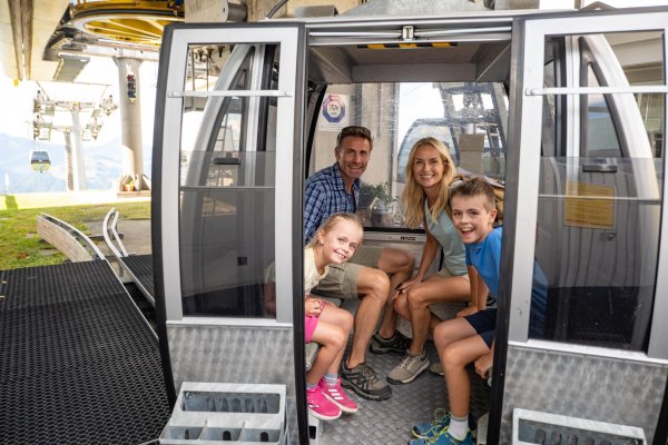
Mountainrailway Hochkössen in Summer
Hochkössen is the ideal starting point for hiking, biking tours, and paragliding, and offers easy access to stunning panoramas, rustic alpine huts, and a…
Details & route planning →Looking for more tips in Kaiserwinkl? On our homepage, you'll find all the categories and places to visit – all easily reachable by bus and train.
Plan your trip now Pick your destination, we'll find the best connection – based on current transit timetables.Frequently asked questions about hikes in Kaiserwinkl
How do I find hikes reachable by bus & train with NaturTrip Kaiserwinkl?
Want to hike without a car and save both the climate and your nerves? With NaturTrip Kaiserwinkl you can easily find hikes with bus and train access – tailored to your location.
Visit naturtrip.kaiserwinkl.com and choose a category such as Hiking, Point to poin hiking, Running / Nordic Walking, Snowshoe hiking, Winter walking. Then enter your starting point (e.g. Kössen) or use automatic location detection. On the interactive map you immediately see which tours are easy to reach by public transport from your location.
"Easy to reach" means for NaturTrip:
- maximum 2 transfers
- at most 20 minutes walk to the stop
- at most 20 minutes walk from the stop to the trailhead
Use the filter to refine your search – for example by difficulty or tour duration, but also by travel mode, maximum transfers or travel time for your journey.
That way you quickly find tours that are realistic and relaxing to do without a car.
What types of hikes are available on NaturTrip Kaiserwinkl?
On NaturTrip Kaiserwinkl you find a wide selection of hikes for every level:
- easy tours with little elevation gain
- challenging hikes
- family-friendly routes with adventure value
- themed hikes (nature, culture, history)
All tours come from regional tourism organisations. What this means for you:
- certified quality
- official and well-signposted trails
- no user-generated content
So you can rely on solid, trustworthy tour planning.
Are there also point-to-point hikes (A to B) reachable by public transport?
Yes – NaturTrip is especially strong at point-to-point tours (A to B).
This means: you start at one location and end somewhere else – without having to walk back.
How it works: If you're looking for e.g. a 3-hour hike, NaturTrip only shows tours where:
- the starting point is well reachable by bus and train
- there is still a suitable return connection at the end after the duration of the hike
Advantage: Public transport gives you more flexibility than a car – you don't have to return to your starting point but can discover new paths.
Which travel modes does NaturTrip support in Kaiserwinkl?
In Kaiserwinkl NaturTrip lets you choose between the following travel modes: bike, public transport (bus & train), walking.
This way you'll find round and point-to-point hikes that match your preferred way of getting around – whether climate-friendly by bus & train, by bike, or combined.
You can change the travel mode any time in the filter – NaturTrip then only shows tours that are realistically reachable with your preferred mode.
How to discover car-free hikes in 5 steps
Finding and planning car-free round and point-to-point hikes with NaturTrip is easier than you think. Reach them comfortably by bus and train – without transfers if you like.
-
Open NaturTrip Kaiserwinkl
Go to the homepage and select a category from the hikes section.
-
Enter your starting point
Enter your accommodation, your home, or your current location as the starting point.
-
Results list with public-transport overview
NaturTrip Kaiserwinkl now shows you all hikes that are well reachable by bus & train from your location at the current time.
Including an overview of:
- how long it takes to reach each suggested tip
- which modes of transport you'll use
- how many transfers are required
-
Optional: adjust the filter settings
Departure time settings:
- Date and time can be set in the future.
hikes settings:
- Difficulty: easy, moderate or difficult
- Duration: 30 minutes up to 10 hours
Bus & train arrival settings:
- Maximum travel time: 15 minutes up to 2.5 hours
- Maximum transfers: direct connection, max. 1 transfer, or max. 2 transfers
- Travel mode: bike, public transport (bus & train), walking
-
Pick hikes and check the connection
Found suitable hikes in the results list? Simply click – in the details you'll find the route description, photos, the GPX track for download and further tour properties.
As a final step, click the "Arrival" button to see all bus and train connections for the hikes from real-time timetable data – clearly displayed on the map and as a detailed journey timeline showing all stops, transfers, walking times and departure times.
Just pick your tour and head out – climate-friendly, no car needed!
Go hiking by bus & train from the main towns in Kaiserwinkl
Many round and point-to-point hikes in Kaiserwinkl are easily accessible by public transport. Not just from larger towns – there are direct connections to popular trails from many stops. Go hiking by bus & train…
- from Kössen
- from Walchsee, Haltestelle Dorfplatz